


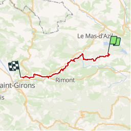

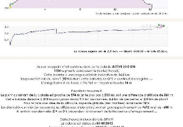
16.2 km | 23 km-effort

User


FREE GPS app for hiking
 SityTrail
IGN / Geographical institutes
SityTrail World
The world is yours!
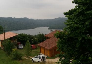
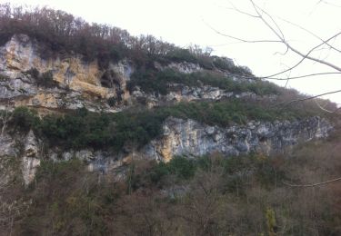
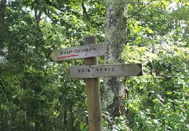
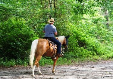
Trail Equestrian of 28 km to be discovered at Occitania, Ariège, La Bastide-de-Sérou. This trail is proposed by tracegps.
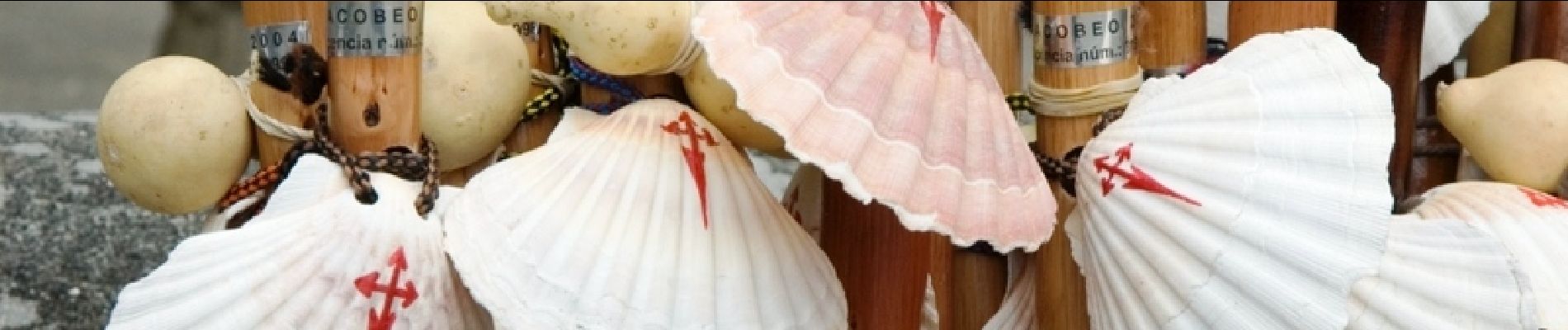
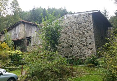
Sixième étape des Chemins de St Jacques. D’autres infos sur Les Chemins de Saint-Jacques de Compostelle . Balade proposée par le Bureau des Guides Équestres Transpyrénéens

Walking
Walking
Walking
Walking
Mountain bike
Running
Mountain bike
Mountain bike
Equestrian